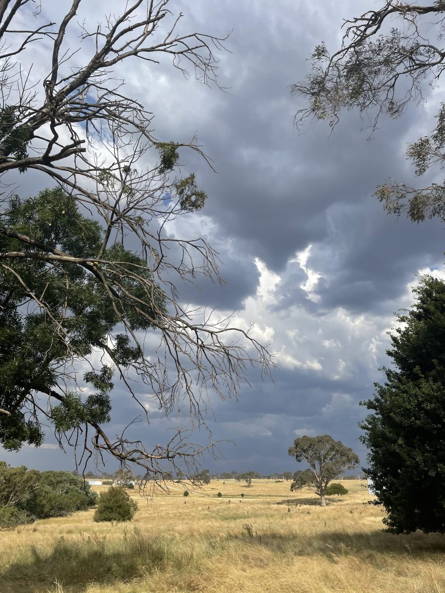
Storm clouds hang menacingly over Yass today with 25 mm of rain reported at Yass River by 1 pm. Photo: Sally Hopman.
Wild weather returned to southern NSW today (9 February) with heavy rain and thunderstorms forecast throughout the afternoon and into the evening.
The Bureau of Meteorology (BoM) issued a severe thunderstorm weather warning with intense rainfall at around midday for areas surrounding Canberra, including the Southern and Central Tablelands, South-West and Central West Slopes and Plains districts, with the most likely affected areas stretching from Cootamundra and Young across to Yass and Crookwell.
The severe weather alert also covered the South Coast, from Nowra up to Bowral. It warned that the severe thunderstorms could result in flash flooding later this afternoon, especially around Kiama and Huskisson.
Greenwell Point recorded 178 mm of rain in two hours from 6 am today, while Nowra recorded 72 mm in the same period.
The forecast was less severe for Canberra, but the BoM did warn of the chance of a thunderstorm in the nation’s capital later today, with possible heavy rain and severe winds.
Up to 20 mm of rain is predicted for Canberra.
The wet and windy weather is expected to clear tomorrow (10 February) in the capital, with a maximum of 30 forecast and minimum of 14, and similar temperatures for the surrounding regions.
Today’s wild weather comes in the wake of yesterday’s release of the BoM’s climate report for 2022.
It showed that 2022 was a warmer and wetter year for Australia, with the nation’s mean temperature 0.50 degrees Celsius warmer than the 1961-1990 average, making it the 22nd warmest year since national temperatures were recorded in 1900.
National rainfall figures were significantly higher last year – 26 per cent above average – making it the ninth wettest year since records began. Annual minimum temperatures were also above average for most of the country.
The latest weather warnings are regularly updated on the BoM website.
Original Article published by Sally Hopman on Riotact.


