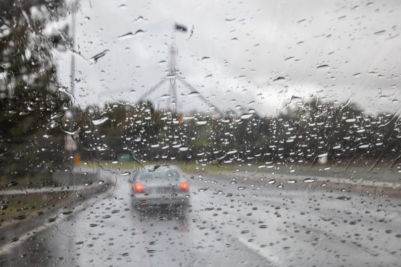
A week of rain is on its way to the ACT. Photo: Michelle Kroll.
Just when it appeared the ACT had left the rain behind after one of its wettest winters on record, the region seems set for a week of rain from Wednesday (3 November).
BOM meteorologist Hugh McDowell said that while there is no weather warning for severe thunderstorms in the region at this stage, Canberrans can expect significant amounts of rain on Thursday, particularly on the southwest slopes and western parts of the ACT, and again on Sunday and Monday.
The expectation is for between 10 and 25 mm of rain on Thursday. If the rainfall outcome is at the higher end of that scale, Canberra could have nearly half the amount of rainfall it had in all of October (56 mm).
The rain is predicted to begin settling on Friday with 3 to 8 mm and a chance of thunderstorms in the afternoon and evening, and more noticeably again on Saturday with up to 3 mm and more sporadic showers throughout the day.
Sunday is set to be the warmest day of the wet week with a maximum of 25 degrees, but it is likely to come with 4 to 10 mm of rain and possible thunderstorms late in the day. Monday will be similar with 23 degrees and an expected 3 to 10 mm, and the chance of a thunderstorm at some point over the day.
The ACT can expect warm days and cool nights, with maximum daily temperatures consistently in the mid-to-low 20s next week and overnight minimums predicted to be in the 8 to 12 degrees range.
Original Article published by Max O’Driscoll on The RiotACT.


