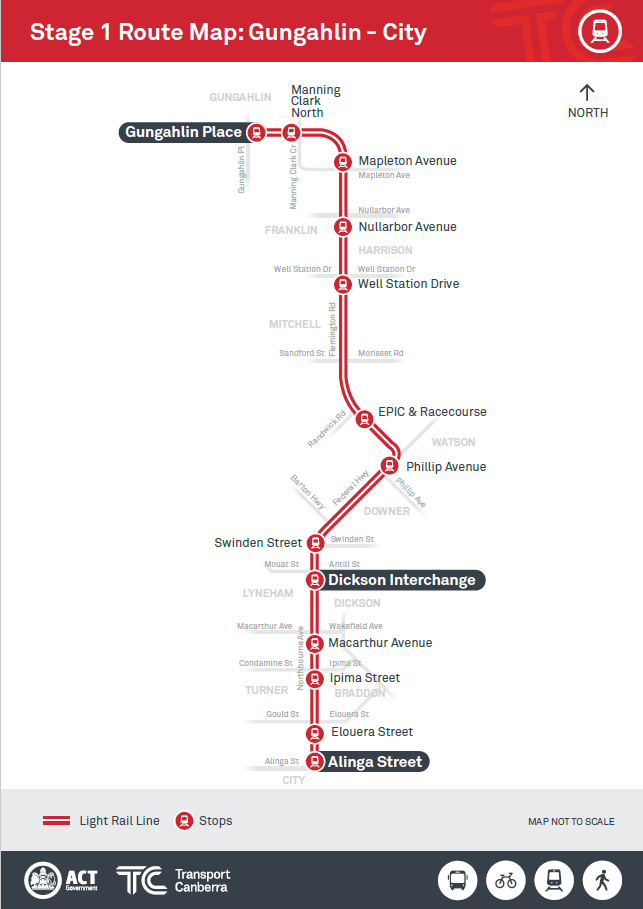
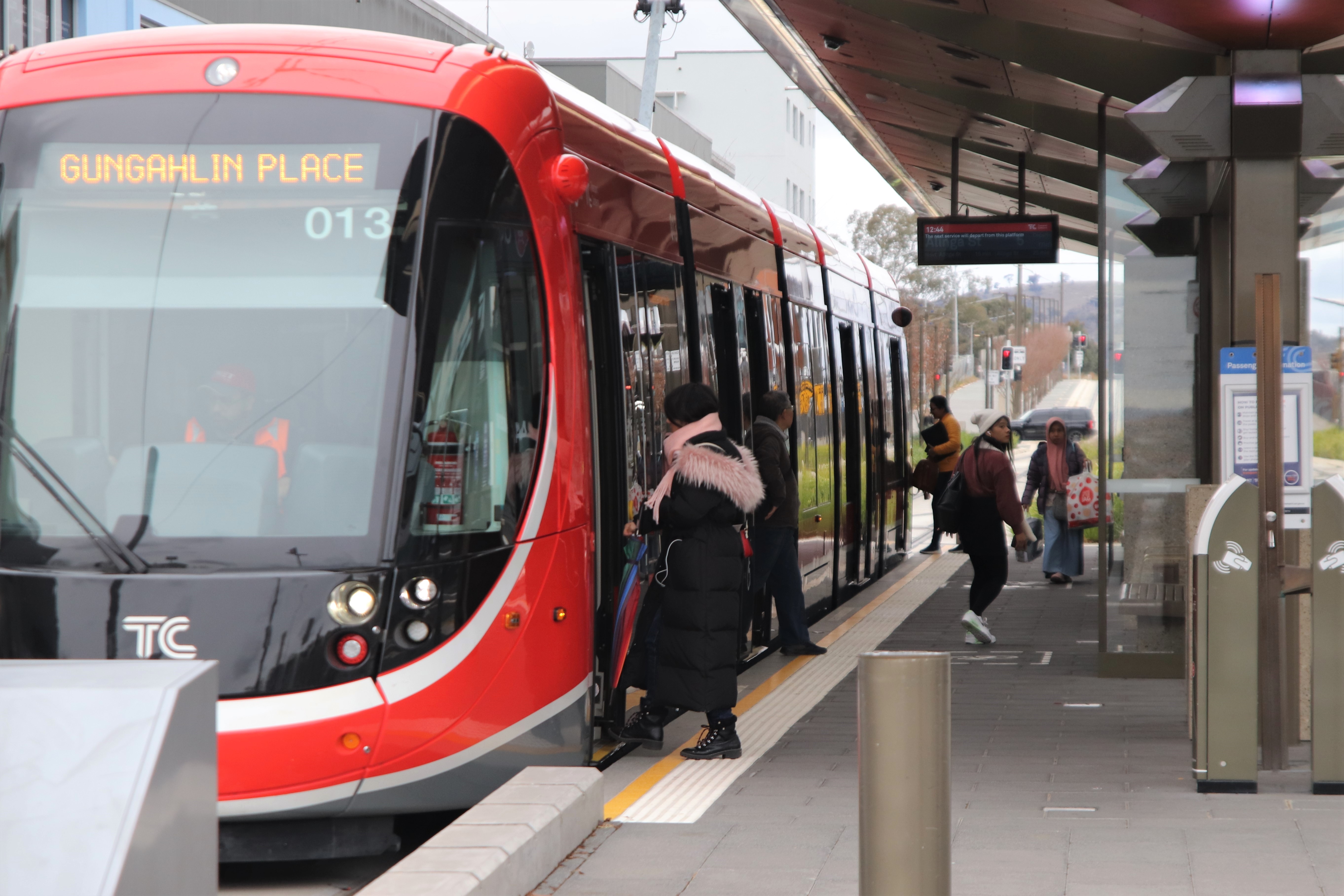
Stage one of Canberra’s light rail project reaches a landmark today with the announcement of the 13 stops names between Civic and Gungahlin.
The stop names have been named geographically in relation to major streets and intersections they will service, providing Canberrans with part of the service they can personally identify with.
“Stop names are an important part of light rail design, connecting residents with local public transport and helping Canberrans move about the city,” Minister for Transport Canberra and City Services, Meegan Fitzharris said.
“From today, Canberrans can place themselves on the stage one map and identify their closest stop which will take them to and from where they need to be.
“These names will become a part of thousands of Canberrans daily lives and it is exciting to have reached this point in the project, which is on track to be delivered in 2018.”
The light rail City to Gungahlin corridor will contain thirteen stops including a terminus at each end of the route.
The following stop names for the corridor have been chosen:
- Gungahlin Place (terminus)
- Manning Clark North
- Mapleton Avenue
- Nullarbor Avenue
- Well Station Drive
- EPIC and Racecourse
- Phillip Avenue
- Swinden Street
- Dickson Interchange
- Macarthur Avenue
- Ipima Street
- Elouera Street
- Alinga Street (terminus)
The names have been decided on geographic basis to allow for ease of wayfinding through the stage one corridor.
As the corridor runs between many of Canberra’s northern suburbs and sometimes contains more than one stop within a suburb, stops are primarily named after adjacent street names as well as prominent landmarks.
“Stop locations were selected through criteria around projected patronage, potential to enhance the local area, as well as access and connectivity with buses, improved walking and cycling infrastructure.
“This is an exciting time for Canberra with light rail transforming public transport in Canberra. I look forward to watching the future development of the project, including the start of construction on the first light rail stop over the next year.”
Further information including maps of light rail stop locations and proposed names can be found at www.transport.act.gov.au.
