Last week I shared with you Running 145kms around Canberra on the Centenary Trail – Stage 3 where my journey started at Stromlo Forest Park and took me to Tuggeranong. This week I bring you stage 4 of 7 where my journey picks up at Tuggeranong and takes me to Parliament House.
I am undertaking this challenge as part of my training towards my marathon challenge for 2020 and fundraiser for Pancreatic Cancer UK. You can support this fundraiser by purchasing tickets in our raffle which has some awesome prizes on offer. Details further on.
Stage 4 is the longest stage out of all the stages at a predicted distance of 28km and some decent elevation expected. This route will take me through the Tuggeranong Town Centre, Isaacs Ridge Nature Reserve, Red Hill Nature Reserve and the summit of Red Hill.
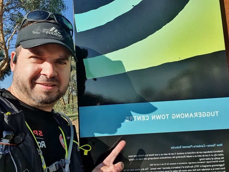
As with all the routes completed so far my journey starts where I finished the last route. For this section this was at the Centenary Trail sign on Athllon Drive in Tuggeranong. The first section take me down through the Tuggeranong Town Centre where the coffee shops on Anketell Street were busy selling their takeaway coffees. The route leads across to Lake Tuggeranong where Tuggeranong parkrun is located. I only run on a very small segment where parkrun goes.
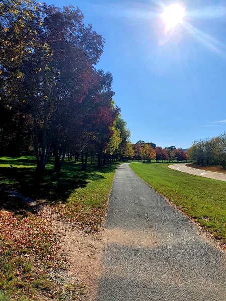
The path leads around the side of Isabella Pond and then continues along Isabella Drive heading east. It was along this path I really noticed the autumn colours starting to show in the trees.
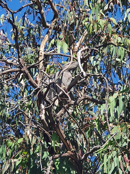
Off Isabella Drive I then ran through the suburb of Macarthur where the path is a footpath that leads through the back of houses to the Wanniassa Hill nature reserve. As I approached the actual reserve a man came out of his through the back gate and pointed out a particular tree to me. He explained that in that tree their usually lives a pair of Tawny frogmouths. He explained these birds will sometimes disappear for weeks or months at a time but always come back to this particular tree. It was such a treat to have these characters pointed out to me. Their camouflage is so good it would be hard to pick them out if you didn’t know they were there.
Now it wouldn’t be one of my usual trips if I didn’t have a misturn on the Centenary Trail. As I headed away from the Tawny frogmouth tree I headed straight up the trail to go up Mount Wanniassa, thankfully I realised quickly this wasn’t right and turned back and through a gate onto the right path. This trail leads around the bottom of Mount Wanniassa through Wanniassa Hills Nature Reserve.
The trail then goes under Long Gully Road which disappointingly had quite a lot of rubbish in this section including a couch. Such a shame to ruin our beautiful nature through this illegal dumping and carelessness.
The trail then leads into Isaacs Ridge Nature Reserve which includes the long steady climb up to the top of Isaacs Ridge. This area looks like a great area to explore on foot or on bikes. There are some mountain bike trails that would be worth bringing the mountain bike out to check out. The climb up the top was slow going but it was certainly worth it with some amazing views to the east and west. You could get a really great outlook over Woden from this point. Similar to the previous stage these are views of Canberra I had not experienced before.
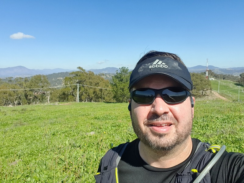
The climb up to the top of Isaacs Ridge was pretty steep and so was the trip down. I wasn’t game to run down this step rocky hill due to how steep it was. I kind of felt like when the Man from Snowy River was riding the horse down that steep mountain in the movie. The trail continued on through Isaacs Ridge Nature Reserve at the back of Isaacs and O’Malley.
From here the trail leads to Mugga Mugga Nature Reserve at the base of Mount Mugga Mugga. It was along this section things went wrong for me again trying to follow the Centenary Trail. I remember seeing a Centenary Trail marker pointing me in the same direction as the map on my watch so I continued happily following the trail that matched the route on my watch. Until I hit two fences blocking my way. The route on my watch seemed to direct me through the bigger fence which had signs on it “Danger. Open Pit”. I walked back to see if there was a marker I missed or another path that avoided me falling into an open pit. There was two other hikers out so I asked them if they knew which way to go for the Centenary Trail. They laughed and said they were trying to work it out as well. I made my way back a bit further to see if I could find another marker or trail to follow. I couldn’t find another Centenary Trail marker so I just went in the general direction towards Red Hill until I joined up again with the route marked on my map on my watch.
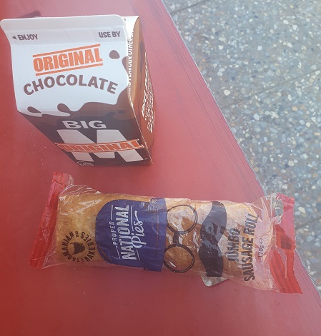
The trail then leads through the suburb of Red Hill on the footpath heading towards Red Hill Nature Reserve. At this point I had pretty much reached the distance of all the other stages done to date. I started later than I normally would and didn’t have my normal nutrition with me for fuel so at this point I was starting to feel pretty flat and needing some energy. I came across the Red Hill Shops where I stopped for a little snack. Probably should have just grabbed a Powerade…
At the shops is a sculpture of French explorer Jean-Francois de Galaup, compte de la Perouse, who landed in Botany Bay the same week as the First Fleet. The sculpure was created by Braidwood artists Suzie Bleach and Andrew Townsend. La Perouse was an an accomplished early French explorer. Red Hill streets are named after early maritime explorers and ships and this sculpture is located on La Perouse Street. This piece was actually nearly destroyed in a fire at the artists studio. You can notice scorch marks on the back left behind in the plaster sculpture. Further up the road is Scarborough Street (my surname) named after one of the ships in the first fleet.
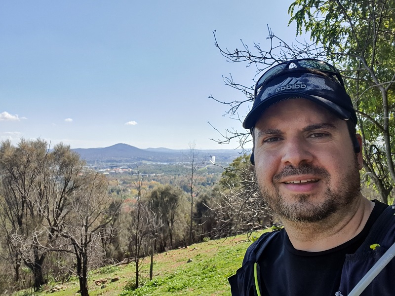
Soon I was off the foot paths in Red Hill and onto trail in the Red Hill Nature Reserve and the climb to the top of Red Hill. I have run up Red Hill a couple of times following the road from the other side of the hill so this was a different experience. From the top I could see my destination, Parliament House. Only a couple more kilometres to go!
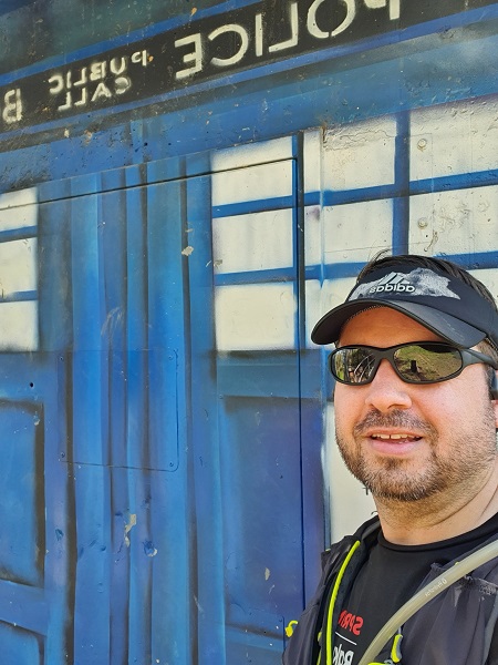
Once I reached the top it wasn’t long that I was heading back down on a step trail with lots of steps heading to the base of Red Hill. As I was heading down I came across a certain time machine but couldn’t see the Doctor anywhere.
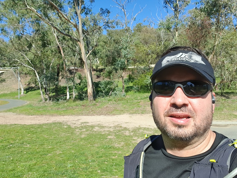
Now it was time to head into the suburb of Forrest for the final stretch along Melbourne Avenue to Parliament House. After I crossed State Circle I followed the trail that goes around State Circle and ends up at a little car park where the map on my watch announced the course was complete. The way the Centenary Trail is set up is this is where the trail starts and finishes but obviously you can start anywhere you choose. I was surprised there was no Centenary Trail signs though as there had been at the start and finish of each other stage. However, looking at the map online I think the actual start and finish is a further up the track. I guess I will find out on the next stage.
This segment was meant to be 28 kilometres but I clocked up 29.1 in the end. This was the longest stage so far for this challenge and also had the highest elevation gain at 575 metres. The next stage is from Parliament House to North Watson. You can choose your own adventure here and summit Mount Ainslie and Mount Majura or go around the base of both. Not sure what I will do yet…. Make sure you check out my highlight video below from this stage from Tuggeranong to Parliament House.
To support my fundraiser for Pancreatic Cancer UK Marathon 2020 challenge I am holding a raffle and tickets are just $10 each with some great prizes on offer.
Do you have the need for speed? In this raffle, prizes include driving a V8 race car at Sydney Motorsport Park, reach over 200km/h skydiving over Canberra from 15,000 feet and a B737 Jet Flight Simulator experience.
Buy your tickets here: Need for Speed Raffle
Tickets will be drawn on Friday 12th June 2020 at Gungahlin Eastlake Club.


