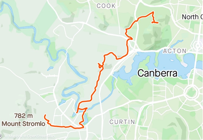
Last week I shared with you Running 145kms around Canberra on the Centenary Trail – Stage 1 where my journey started in Hall and took me to Black Mountain Tower. This week I bring you stage 2 where my journey picks up from Black Mountain Tower and takes me to Stromlo Forrest Park.
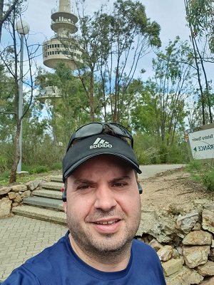
Again after a bit of breakfast and preparing my hydration pack I set off to Black Mountain. At the bottom of the road up Black Mountain the sign still says Telecom Tower! Once parked at the base of Telstra Tower I brought up the Centenary Trail map on my Garmin watch and set off on what I thought was the right trail from where I had stopped the previous week. I made my way down the rocky narrow trail taking in the sights over towards Belconnen. Normally when running I like to listen to a podcast or some music but on this day I had forgotten to start something and I actually enjoyed just listening to the bush noises. Not long heading down the mountain I got confused by some of the Centenary Trail markers and what my map was telling me. I went one way, doubted myself and started going back up again where there was a cross road. Another trail runner came running past and I asked if he knew the way to Stromlo on the Centenary Trail. He pointed me back up where I started and said to go over the other way and then go under Parkes Way. I started to climb back up Black Mountain but then I remembered I didn’t want to go under Parkes Way but under Caswell Drive. I decided to head back down where I found the crossroad and follow my map on the watch. I think I lost maybe 20 minutes in this indecision, I should have just followed the watch in the first place!
I really liked the trails through the Black Mountain reserve and running through the bush. As I was heading down the mountain Jarrett Anthoney from Dainere’s Rainbow Brain Tumour Research Fund who’s team I support at City2Surf was powering up the mountain. With a wave of acknowledgement we continued in our opposite directions.
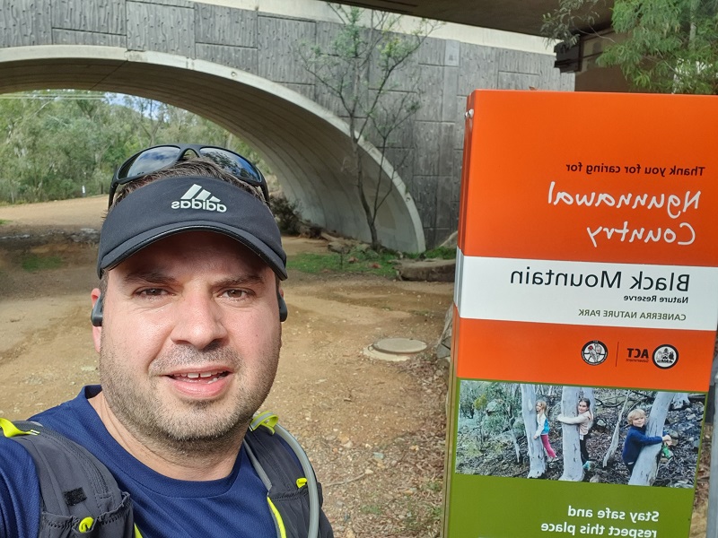
I came to the underpass at Caswell Drive to take me out of Black Mountain Nature Reserve and into Aranda Bushland Nature Reserve where you will find Snow Gum Grassy Woodland, rare plants, a small area of endangered Yellow Box-Blakely’s Red Gum Grassy Woodland, dry eucalypt forest and habitat for woodland birds.
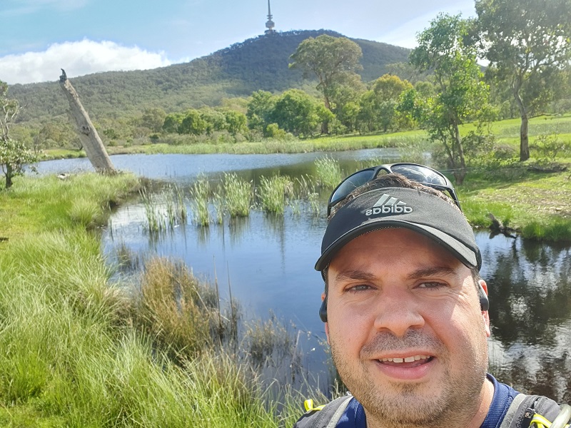
Partway through Aranda Bushland Nature Reserve those on foot can divert through Aranda Snowgums where cyclists have to keep to a different path. This area provided another fantastic surprise of a little pond that I would have driven past hundreds of time but never knew was there.
From here I followed the bike path that then leads under William Hovell Drive and onto a track up into the National Arboretum. I have never explored this side of the Arboretum so it was nice to see a different section.
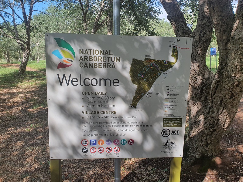
I made my way along Cork Oak Road through the Arboretum and then came to Forest Drive which is the main road to the top where Pod Playground is. At this point there was a Centenary Trail marker pointing straight up the road but my map on my watch was saying to go left and then go up the zig zag foot path. I figured it would probably just be quicker to follow the road as it appeared both paths would end up in the same spot. So up the steep road I trudged. I kept following the road but did not see any more markers and my map was showing I was further and further off the actual trail.
I got to Dairy Farmers Hill and took in the view. It was pretty awesome to see Black Mountain Tower where I had started this stage. At this point I thought I would head in what I thought was the right direction to eventually join the trail that was showing on my watch. Nope, didn’t work so I headed back again. I then headed through the plantation down from Dairy Farmers Hill until I was on the trail according to my watch. Again I probably lost about 20 minutes going off track. Not sure if there was a marker missing at the top of the hill behind the main building or if I missed it but I will discover later there is a temporary diversion in place that takes you across Scrivener Dam. My map however led me towards the Molonglo River which I knew was in the direction I needed to go so off I went hoping that was the last of me getting off the right track.
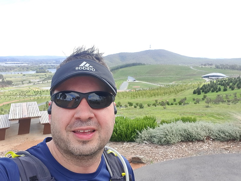
So I was happily heading towards Stromlo and could often see Mount Stromlo and knew I wasn’t too far away. I was also calculating this stage wouldn’t be quite as long as I had expected it to be. I arrived at the Molonglo River where there is a low level concrete bridge. On one side there was so much washed up branches and other debris from the rain we have had this year. It was great to see the river streaming under the bridge.
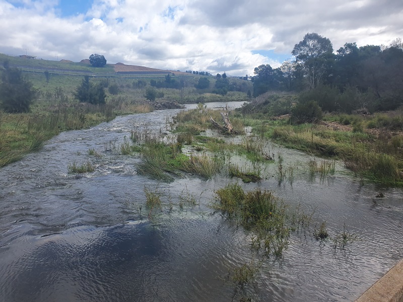
As I crossed the bridge I came across a long line of temporary fencing that pretty much said “Thou Shall Not Pass!” My map was showing that was still the direction I had to go but alas I knew I can’t get through that way. I turned around and headed back to another path that I was hopeful would get me around and across the river. It wasn’t long heading along this new path I could see another bridge across the river, I just had to keep going on a bit longer and back down to the riverbank to cross. Thankfully this diversion actually joined up easily to the Centenary Trail showing on my map. I was then running on a bike path that takes me around the back of Coombs and Wright and up to Stromlo Forest Park.
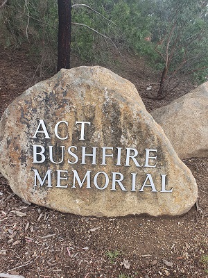
Coming up to Stromlo Forest Park I passed the ACT Bushfire Memorial. The ACT Bushfire Memorial was commissioned by the ACT Government to acknowledge the impact of the 2003 bushfires, to mark the process of recovery, and to thank the many organisations and individuals who played crucial roles in the fire fighting and recovery efforts. It’s quite sombre passing the memorial but it is also good we have this place to acknowledge this sad and dramatic day in Canberra’s history.
It wasn’t long before I had reached the fringe of Stromlo Forest Park and I made my way on the path looking for the Centenary Trail sign that would mark the finish of stage 2 of this 7 stage adventure. Stromlo Forest Park is the home of the Stromlo Running Festival which is due to be held in November 2020. Registrations open in June. Last years event sold out so make sure you get in quick if you want to take part in a 10km, 30km or 50km trail event. I have done the 10km and 30km events and this is a fantastic event, the 30km will show you some great sights of Canberra you probably haven’t seen and the climbs will test you!
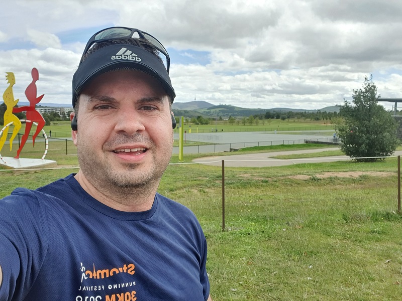
In this photo you can see Telstra Tower in the background where this 19.28km stage begun!
When I got home I was curious to see where I went wrong at Black Mountain the Arboretum and what happened with the fencing at Molonglo River. Looking at the map online it appears I may have gone the wrong way early coming down Black Mountain from Telstra Tower and missed a whole segment. Whilst it appears I should have followed my map on my watch at the Arboretum to go up the zig zag path there was no trail markers to say those on foot should go left and cyclists to go right. However I don’t think there was any markers at the top of the hill to point the right way. Looking at the map online it does show a temporary diversion across Scrivener Dam because of the civic works happening next to the Molonglo River. I have been assured there is signage in the Arboretum to point to this diversion. The Centenary Trail markers in this stage I feel need checking by TCCS as there was quite a few missing. I will re-visit this stage after I have completed this challenge to check where I went wrong and make sure I do it properly. Check out my video of highlights below.
To support my fundraiser for Pancreatic Cancer UK for my Berlin Marathon 2020 challenge I am holding a raffle and tickets are just $10 each with some great prizes on offer.
Do you have the need for speed? In this raffle, prizes include driving a V8 race car at Sydney Motorsport Park, reach over 200km/h skydiving over Canberra from 15,000 feet and a B737 Jet Flight Simulator experience.
Buy your tickets here: Need for Speed Raffle
Tickets will be drawn on Friday 12th June 2020 at Gungahlin Eastlake Club.


