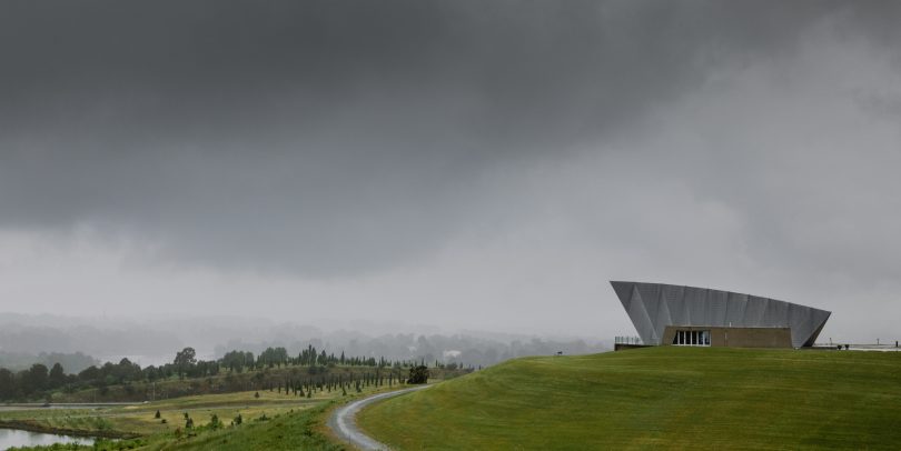
The wet’s not done with us yet: storm clouds were a common sight in November and more are on their way. Photo: Michelle Kroll.
With the ACT already in the midst of its wettest year in over a decade, thunderstorms surround the region and a further 20 mm of rain is expected in the next three days.
According to the Bureau of Meteorology, the yearly rainfall tally at Canberra Airport is 825.2 mm as at 30 November, making it the wettest November by nearly 40 mm and the second wettest month since 2008.
Since then, the wettest Canberra year was 2010 when the region experienced 959.6 mm of rain, and the wettest month on record was December 2010 with 198.4 mm.
The BOM is predicting a wet December as well, despite the expected increase in temperature. The region would require 134.4 mm of rain to pip 2010 as Canberra’s wettest year since records began.
Today, the BOM issued a severe thunderstorm warning for damaging winds and heavy rainfall for people in parts of the South Coast, Southern Tablelands and Snowy Mountains. Flash flooding is also considered a possibility.
Manager for NSW/ACT at the Bureau of Meteorology Agata Imielska declared it was the wettest November in NSW since records began in 1900.
“We have seen very wet conditions, record-breaking conditions in November but the flood situation is quite volatile. We actually don’t need record-breaking rainfall to cause flash flooding or river flooding,” said Ms Imielska.
While some may welcome warmer temperatures, Ms Imielska warned that as the temperature increases, so will the likelihood of thunderstorms and flood risk will remain high.
As National Flood Operations Manager Justin Robinson explained, “not only are the catchments wet, but the dams are also full and we’re expecting more rainfall in the coming week”.
“We just have to be very careful with the situation on the ground, but also keep up to date with the Bureau’s flood warnings,” said Mr Robinson.
There is currently a minor flood warning out for areas of the Murrumbidgee, with the river depth peaking at seven metres. All dams in the ACT remain at 100 per cent.
Original Article published by Max O’Driscoll on Riotact.


