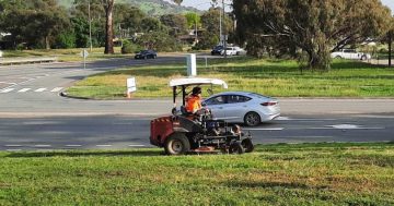
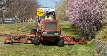
Canberrans will now be able to keep up to date on where mowing is being conducted throughout the city with the help of a new online mapping tool.
“The new mowing map gives people a convenient way to track the progress of mowing in their suburb and the ACT more generally,” Minister for Transport and City Services, Meegan Fitzharris, said.
“We know how important mowing of public land is to the community, particularly for people who love to get outdoors, visit our parks and walk their dogs around Canberra’s suburbs. We also want to make sure our bush capital looks its best.
“Keeping the public informed about mowing is part of the service that the community expects. This map will assist by providing that information in an easy to understand and visual way.
“The interactive map shows which suburbs in Canberra have been recently mowed and when suburbs will be mowed next. The map will also let the public know of delays to the mowing schedules such as a result of wet weather or high fire danger. The map is updated weekly, to proved accurate information.
“Since mowing season commenced in late August 2016 over 14,000 hectares of public land has been mown resulting in three mowing passes of arterial roads and four passes of suburban areas. This includes suburban parkland.”
The annual mowing season program runs until the end of April. For more information on the program or to see the new map visit http://www.tccs.act.gov.au/city-living/public_areas/grass-mowing/mowing-program-information-map
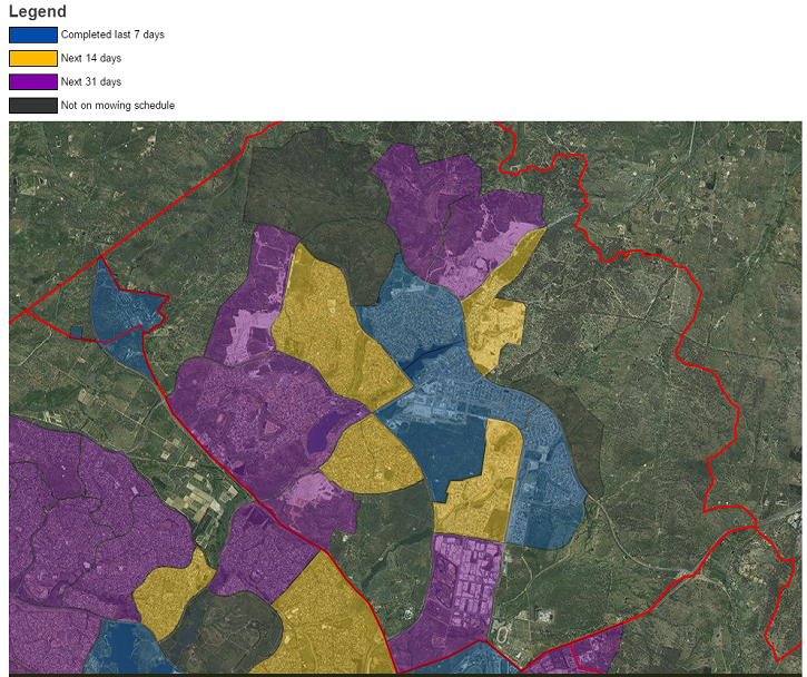
Screenshot from website showing Gungahlin